CONTACT US
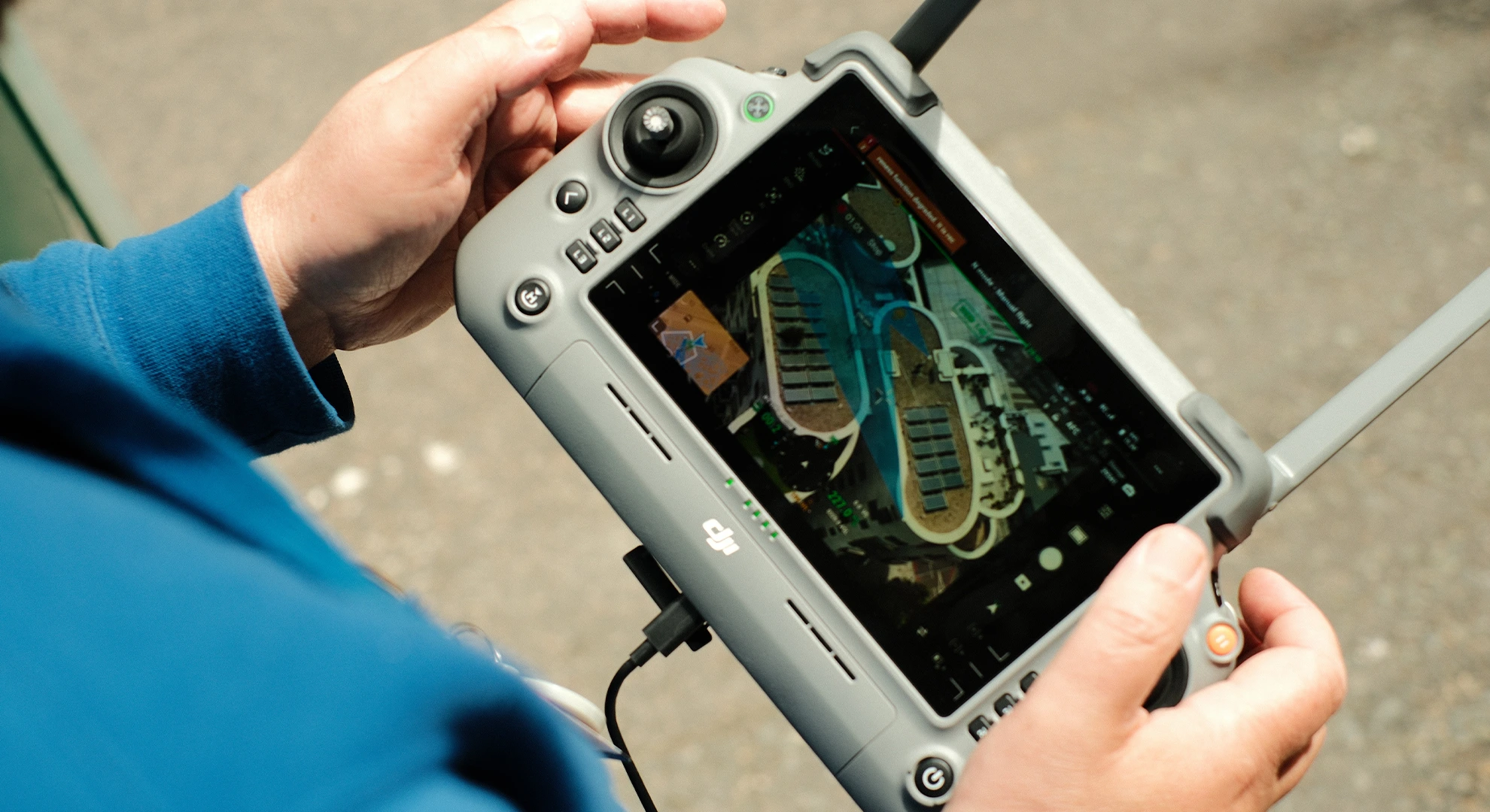
Close-up of hands holding a drone remote controller displaying a live aerial survey feed on the screen.

Our Services

From thermal imaging to 3D photogrammetry, we utilise 4K video and high-resolution imagery to deliver actionable insights with minimal site disruption — faster turnarounds, lower risk and professional-grade accuracy.

SERVICE_01 // inspection

PROPERTY INSPECTIONS

Rapid 4K façade and building inspections, spotting cracking, failed pointing, damaged render and signs of water ingress long before they become expensive repairs. No scaffolding, no access towers, no cherry pickers, no working at height.

Perfect for pre-purchase due diligence, insurance claims and planned maintenance, with imagery delivered the same day.

FIND OUT MORE

ARE YOU A HOMEOWNER?

Read about our dedicated services for homeowners here.
SERVICE_02 // roof

ROOF INSPECTIONS

Close-up 4K drone inspections of pitched and flat roofs, finding slipped tiles, lifted flashing, failed membranes and blocked gutters before they turn into a leak. No ladders, no scaffolding, nobody on the roof.

Ideal for leak tracing, storm damage and insurance claims, pre-purchase roof checks and planned maintenance, with imagery delivered the same day.

FIND OUT MORE

ARE YOU A HOMEOWNER?

Read about our dedicated services for homeowners here.
SERVICE_03 // DATA

PHOTOGRAPHIC
DATA

Pre-planned automated flight routes capture hundreds of overlapping, high-resolution images of a roof, façade or site, with every frame geotagged and time-stamped. Nothing is missed, and each shot can be traced back to its exact position in sharp 4K.

Delivered as a clean, searchable image library, it gives surveyors, insurers and property managers dated, defensible evidence for reports, claims and planning. Because the route is repeatable, the same building can be re-flown months or years later and compared like for like, all without ladders, scaffolding or a return visit to site.

FIND OUT MORE
SERVICE_04 // 3d

3d photo-grammetry

Hundreds of overlapping aerial images reconstructed into an accurate, measurable 3D model or Point Cloud. Take true distances, areas and volumes directly from the model, ideal for restoration planning, BIM input and multi-year asset management.

With RTK positioning we deliver survey-grade accuracy to within a centimetre, georeferenced and ready to drop into your workflow.

FIND OUT MORE
SERVICE_05 // Dilapidations

dilapidations surveys

Detailed condition reporting for schedules of dilapidations and lease-end negotiations without scaffolding fragile leadwork, slate or parapets. We document every defect at high resolution and map it against a plan of the building.

The result is clear, dated, defensible evidence that stands up in negotiation, captured with zero contact and no risk to the structure.

FIND OUT MORE
SERVICE_06 // Thermal

Thermal Imaging Surveys

Thermal imaging surveys are a non-invasive way to assess temperature variations across a building or structure. Specialised infrared cameras capture the radiation objects emit and convert it into thermograms, images that display heat signatures as different colours, revealing hidden problems such as poor insulation, water and air leaks, electrical faults and even pest infestations.

Because even the smallest temperature differences show up, thermal surveys identify issues that traditional inspections can miss. You might never notice a subtle leak behind a wall, but a thermal camera picks up the heat signature of moisture, letting you act early before it becomes structural damage or mould.

FIND OUT MORE
SERVICE_07 // 360

360° Building Scans

A series of high-resolution 360° panoramas captured at key points around the site and stitched into a single navigable tour. Clients can pan, look up and down, and click through from one capture point to the next, exploring the building at their own pace.

A low-cost way to give clients, investors or planning officers a genuine sense of place without a site visit, doubling as a marketing asset that keeps working long after the shoot.

FIND OUT MORE
SERVICE_08 // promo

PROMOTIONAL MATERIAL

Cinematic 4K aerial video and high-resolution stills that show your building, development or site at its best, from dramatic elevations and rooftop views to context shots that place a project in its surroundings.

Ideal for marketing and lettings, developer and contractor portfolios, planning submissions and progress updates, captured by a CAA-registered pilot and ready to use across your website, social channels and presentations.

FIND OUT MORE
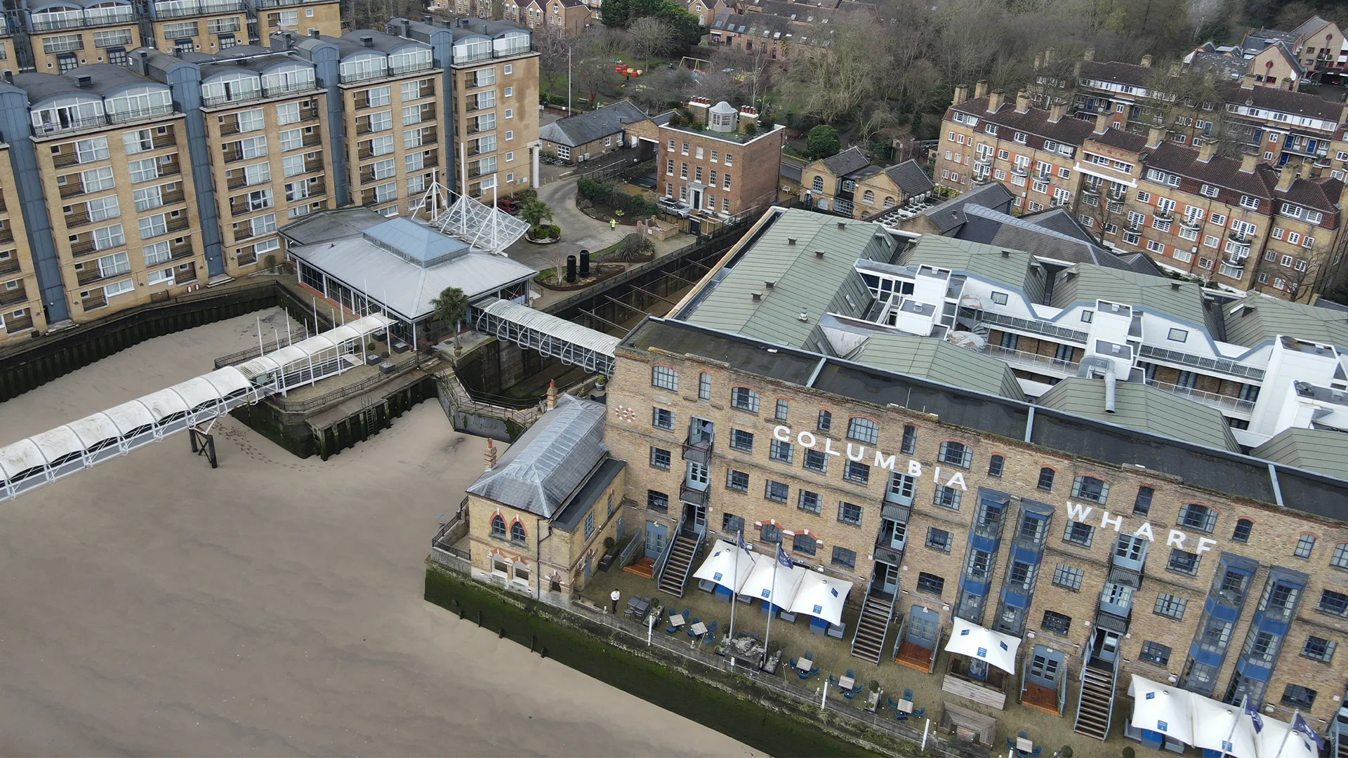
Aerial drone view of the Columbia Wharf brick building complex and walkway along the waterfront.

NOT SURE WHICH SERVICE YOU NEED?

CONTACT US